Our Services

Comprehensive aerial solutions designed to accelerate workflows, scale efficiency, and provide unparalleled data precision using state-of-the-art Drones and AI.

Crop Spraying

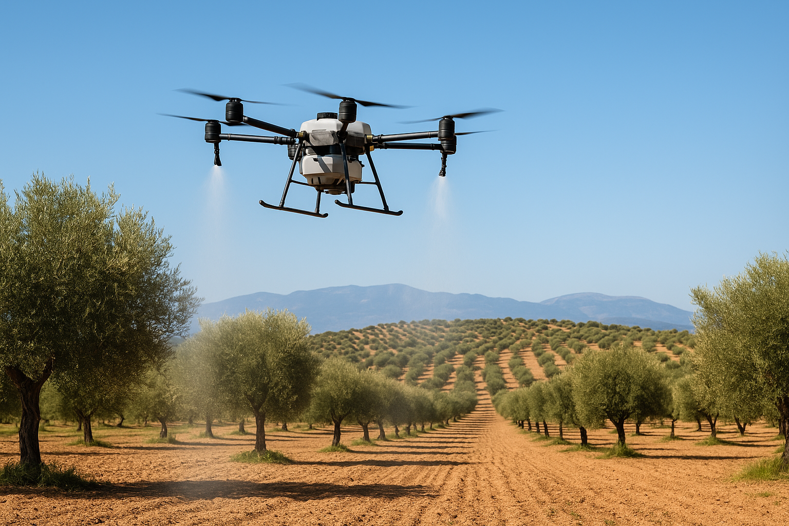
Crop Spraying & Seeding

Apply fertilizers, pesticides, and seeds with automated drones — fast, highly precise, and eco-friendly.

Discover More
Solar & Wind Inspection

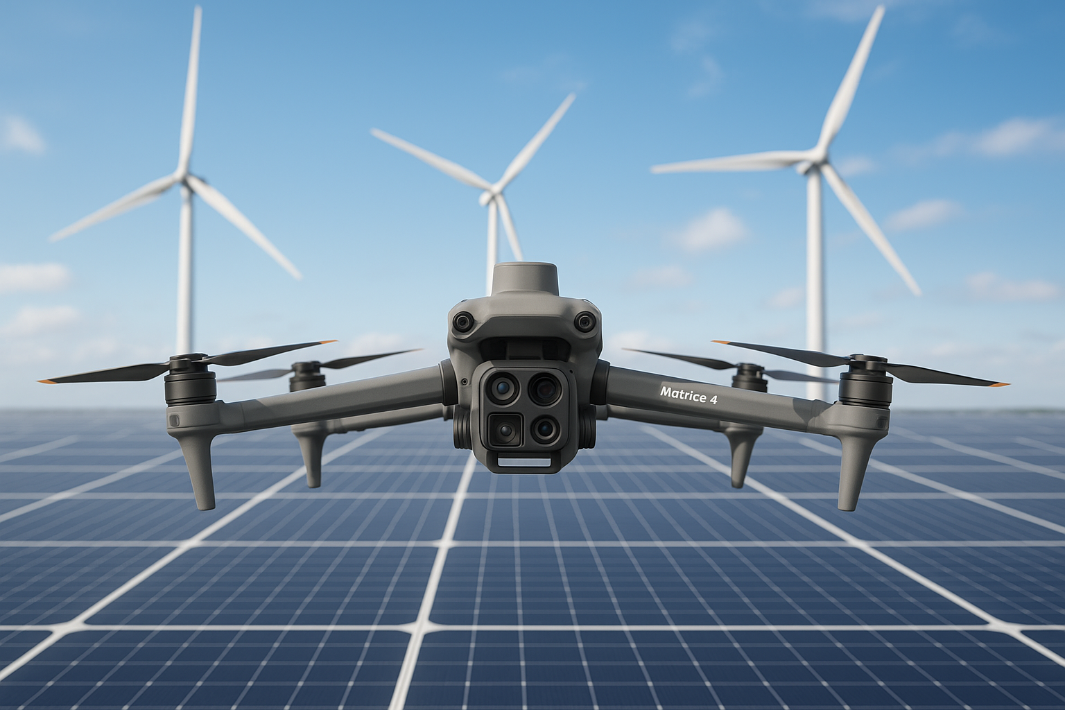
Solar & Wind AI Inspection

Thermal and RGB high-resolution imaging combined with AI to find faults fast and maximize plant performance.

Discover More
Precision Agriculture

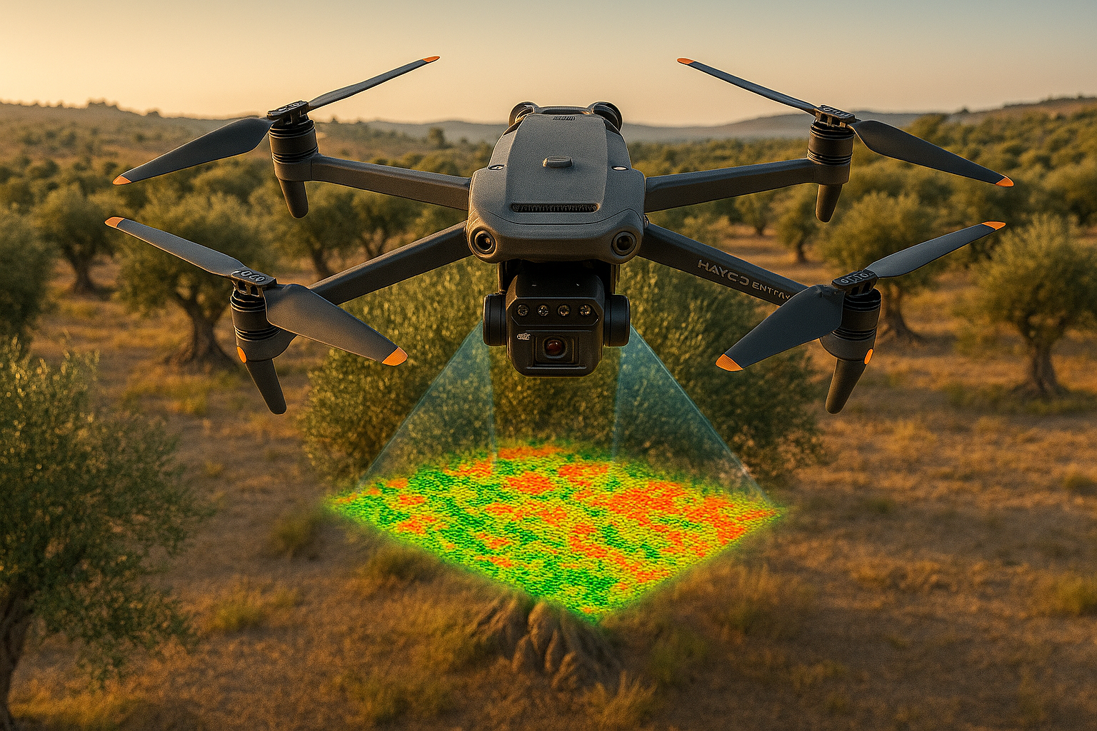
Precision Crop Monitoring

Advanced multi-spectral crop-health analytics to identify diseases early and boost overall yields.

Discover More
3D Digital Twin

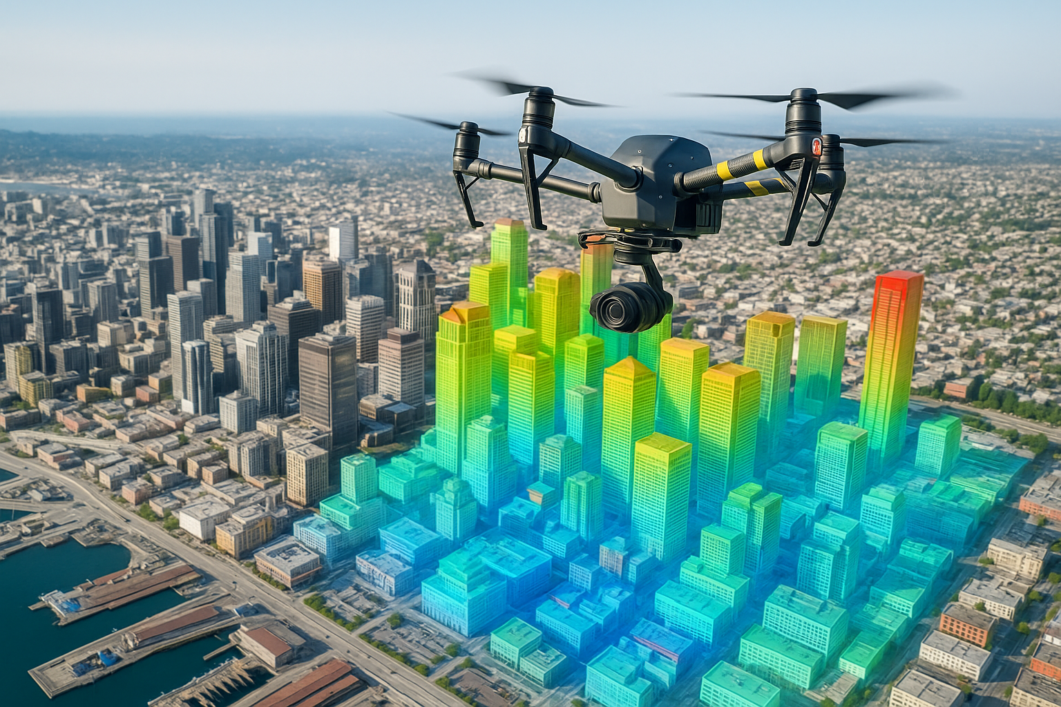
3D Digital Twin & Mapping

Survey-grade 3D models and point clouds for facility planning, construction tracking, and real estate.

Discover More
Cinematic Production

Aerial Video Production

Cinematic FPV and smooth 4K drone filming for events, weddings, commercials, and landscapes.

Discover More

Frequently Asked Questions

We primarily operate across Germany and neighboring European regions, but we can arrange international deployment for large-scale projects upon request.
Our mapping drones use RTK/PPK receivers allowing for centimeter-level accuracy, perfectly suitable for professional surveying and engineering grading.
No, DroNow handles all necessary aviation compliance, risk assessments, and specific flight authorizations (SORA) before any operation takes place.