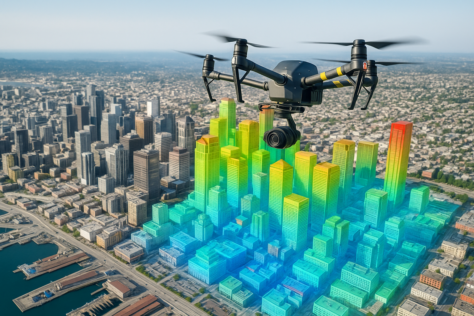
What We Do
Premium Services
Comprehensive aerial solutions designed to accelerate workflows, scale efficiency, and provide unparalleled data precision using state-of-the-art Drones and AI.
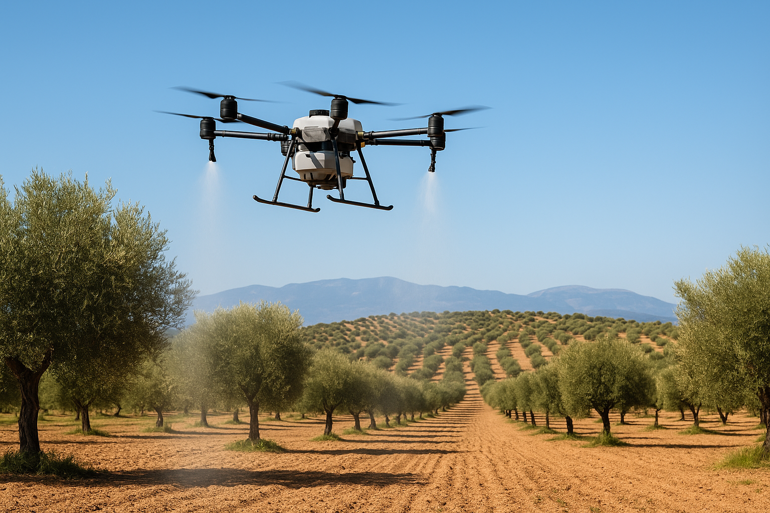
Crop Spraying & Seeding
Apply fertilizers, pesticides, and seeds with automated drones — fast, highly precise, and eco-friendly.
Discover More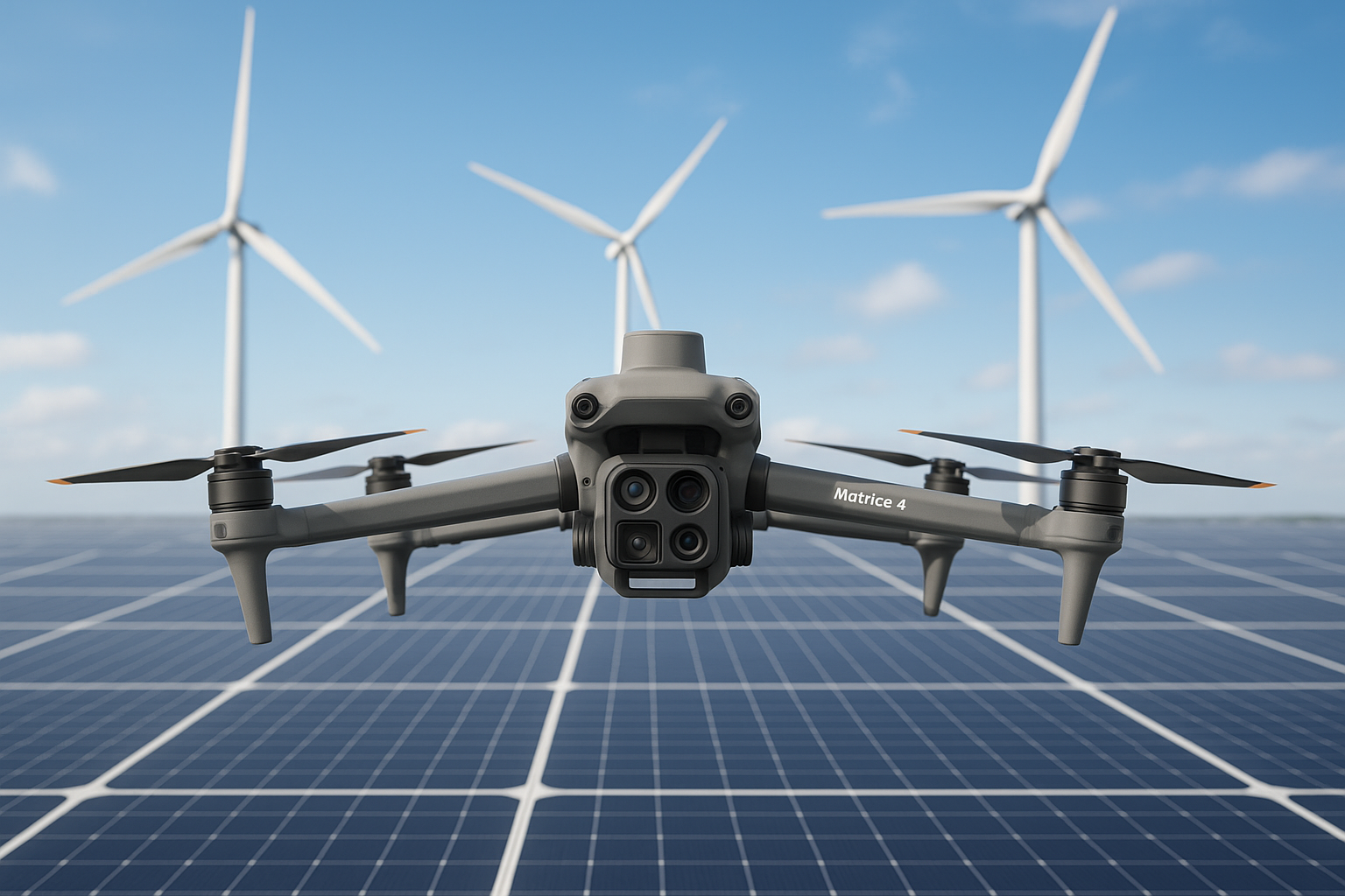
Solar & Wind AI Inspection
Thermal and RGB high-resolution imaging combined with AI to find faults fast and maximize plant performance.
Discover More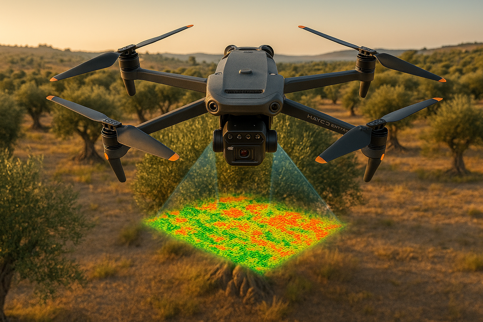
Precision Crop Monitoring
Advanced multi-spectral crop-health analytics to identify diseases early and boost overall yields.
Discover More